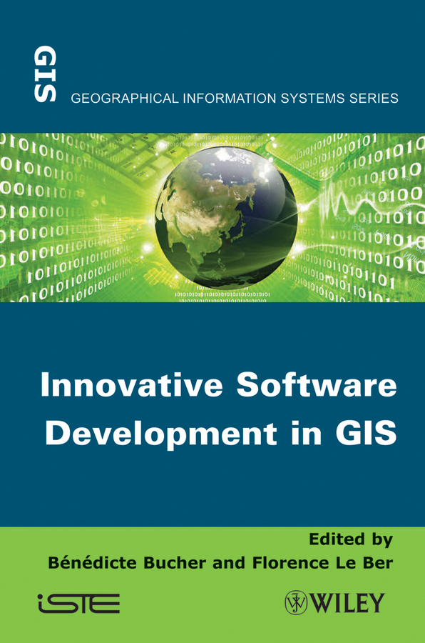
Электронная книга: Bucher Benedicte «Innovative Software Development in GIS»

|
At a time when people use more and more geographic information and tools, the management of geographical information in software systems still holds many challenges and motivates researchers from different backgrounds to propose innovative solutions. Representing geographical space beyond our mere perception is key to making relevant decisions, whether it is with respect to sustainable development or to the planning of everyday activities. Designing, sharing and exploiting such representations entails many challenges. This book presents recent software design projects, led in teams, which sometimes have different backgrounds, to address these challenges. It analyzes the specificities of these projects in terms of motivation, data models and analysis methods. Proposals are also put forward to improve resource sharing in this domain. Contents 1. Introduction, Bénédicte Bucher and Florence Le Ber. Part 1. Software Presentation 2. ORBISGIS: Geographical Information System Designed by and for Research, Erwan Bocher and Gwendall Petit. 3. GEOXYGENE: an Interoperable Platform for Geographical Application Development, Éric Grosso, Julien Perret and MickaëlBrasebin. 4. Spatiotemporal Knowledge Representation in AROM-ST, Bogdan Moisuc, Alina Miron, Marlène Villanova-Olivier and Jérôme Gensel. 5. GENGHIS: an Environment for the Generation of Spatiotemporal Visualization Interfaces, Paule-Annick Davoine, Bogdan Moisuc and Jérôme Gensel. 6. GEOLIS: aLogical Information System to Organize and Search Geo-Located Data, Olivier Bedel, Sébastien Ferré and Olivier Ridoux. 7. GENEXP-LANDSITES: a 2D Agricultural Landscape Generating Piece of Software, Florence Le Ber and Jean-François Mari. 8. MDWEB: Cataloging and Locating Environmental Resources,Jean-Christophe Desconnets and Thérèse Libourel. 9. WEBGEN: Web Services to Share Cartographic Generalization Tools, Moritz Neun, Nicolas Regnauld and Robert Weibel. Part 2. Summary and Suggestions 10. Analysis of the Specificities of Software Development in Geomatics Research, Florence Le Ber and Bénédicte Bucher. 11. Challenges and Proposals for Software Development Pooling in Geomatics, Bénédicte Bucher, Julien Gaffuri, Florence Le Ber and Thérèse Libourel. Издательство: "John Wiley&Sons Limited"
ISBN: 9781118614075 электронная книга Купить за 12483.68 руб и скачать на Litres |
Другие книги схожей тематики:
| Автор | Книга | Описание | Год | Цена | Тип книги |
|---|
См. также в других словарях:
Development Assistance Database — The Development Assistance Database (DAD) is a widely used Aid Information Management System (AIMS) developed by Synergy International Systems, Inc for Aid Management, Public Investment and National Budgeting. It has been established in more than … Wikipedia
Distributed GIS — concerns itself with GI Systems that do not have all of the system components in the same physical location. This could be the processing, the database, the rendering or the user interface. Examples of distributed systems are web based GIS,… … Wikipedia
geography — /jee og reuh fee/, n., pl. geographies. 1. the science dealing with the areal differentiation of the earth s surface, as shown in the character, arrangement, and interrelations over the world of such elements as climate, elevation, soil,… … Universalium
List of computer science conferences — This is a list of academic conferences in computer science. Most of these academic conferences are annual or bi annual events.The order with which the conferences are listed in their respective fields corresponds to a rough and non authoritative… … Wikipedia
List of computing and IT abbreviations — This is a list of computing and IT acronyms and abbreviations. Contents: 0–9 A B C D E F G H I J K L M N O P Q R S T U V W X Y … Wikipedia
Moscow — This article is about the capital of Russia. For other uses, see Moscow (disambiguation). Moscow Москва (Russian) Federal city … Wikipedia
