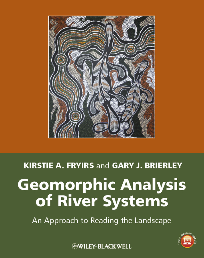
Электронная книга: Brierley Gary J. «Geomorphic Analysis of River Systems. An Approach to Reading the Landscape»

|
Filling a niche in the geomorphology teaching market, this introductory book is built around a 12 week course in fluvial geomorphology.‘Reading the landscape’ entails making sense of what a riverscape looks like, how it works, how it has evolved over time, and how alterations to one part of a catchment may have secondary consequences elsewhere, over different timeframes. These place-based field analyses are framed within theirtopographic, climatic and environmental context. Issues and principles presented in the first part of this book provide foundational understandings that underpin the approach to reading the landscape that is presented in the second half of the book. In reading the landscape, detective-style investigations and interpretations are tied to theoretical and conceptual principles to generate catchment-specific analyses of river character, behaviour and evolution, including responses to human disturbance. This book has been constructed as an introductory text on river landscapes, providing a bridge and/or companion to quantitatively-framed or modelled approaches to landscape analysis that are addressed elsewhere. Key principles outlined in the book emphasise the importance of complexity, contingency and emergence in interpreting the character, behaviour and evolution of any given system. The target audience is second and third year undergraduate students in geomorphology, hydrology, earth science and environmental science, as well as river practitioners who use geomorphic understandings to guide scientific and/or management applications. The primary focus of Kirstie and Gary’s researchand teaching entails the use of geomorphic principles as a tool with which to develop coherent scientific understandings of river systems, and the application of these understandings in management practice. Kirstie and Gary are co-developers of the River Styles® Framework and Short Course that is widely used in river management, decision-making and training. Additional resources for this book can be found at: www.wiley.com/go/fryirs/riversystems. Издательство: "John Wiley&Sons Limited"
ISBN: 9781118305423 электронная книга Купить за 12873.92 руб и скачать на Litres |
Другие книги схожей тематики:
| Автор | Книга | Описание | Год | Цена | Тип книги |
|---|
См. также в других словарях:
river — river1 riverless, adj. riverlike, adj. /riv euhr/, n. 1. a natural stream of water of fairly large size flowing in a definite course or channel or series of diverging and converging channels. 2. a similar stream of something other than water: a… … Universalium
Earth Sciences — ▪ 2009 Introduction Geology and Geochemistry The theme of the 33rd International Geological Congress, which was held in Norway in August 2008, was “Earth System Science: Foundation for Sustainable Development.” It was attended by nearly… … Universalium
continental landform — ▪ geology Introduction any conspicuous topographic feature on the largest land areas of the Earth. Familiar examples are mountains (including volcanic (volcanism) cones), plateaus, and valleys. (The term landform also can be applied to… … Universalium
United States — a republic in the N Western Hemisphere comprising 48 conterminous states, the District of Columbia, and Alaska in North America, and Hawaii in the N Pacific. 267,954,767; conterminous United States, 3,022,387 sq. mi. (7,827,982 sq. km); with… … Universalium
arctic — arctically, adv. /ahrk tik/ or, esp. for 7, /ahr tik/, adj. 1. (often cap.) of, pertaining to, or located at or near the North Pole: the arctic region. 2. coming from the North Pole or the arctic region: an arctic wind. 3. characteristic of the… … Universalium
North America — North American. the northern continent of the Western Hemisphere, extending from Central America to the Arctic Ocean. Highest point, Mt. McKinley, 20,300 ft. (6187 m); lowest, Death Valley, 276 ft. (84 m) below sea level. 400,000,000 including… … Universalium
