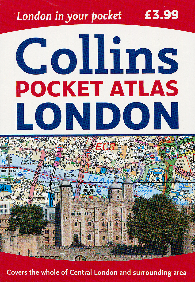
Книга: «Collins Pocket Atlas: London»

|
Серия: "Collins Pocket" An ideal purchase for visitor or resident alike, this handy little atlas has an extensive area of coverage and shows the center of London at an extra large scale. From Chiswick in the west to Barking in the east, and Hampstead in the north to Dulwich in the south, mapping is at a scale of 1:20, 000 (3. 17 inches to 1 mile); and in Central London at 1:12, 500 (5. 1 inches to 1 mile). The maps are exceptionally clear and easy to use with color coding for both the roads as well as locations such as shops, hospitals, hotels, schools, and more. It includes the new Olympic Park, the latest boundary of the congestion charging zone, postal district boundaries, tourist information centers, an updated underground map on the back cover, and a full index to street names. Издательство: "HarperCollins Publishers Limited" (2015) Формат: 110x160, 144 стр.
ISBN: 978-0-00-810457-3 Купить за 312 руб на Озоне |
Другие книги схожей тематики:
| Автор | Книга | Описание | Год | Цена | Тип книги |
|---|---|---|---|---|---|
| Collins Pocket Atlas: London | An ideal purchase for visitor or resident alike, this handy little atlas has an extensive area of coverage and shows the center of London at an extra large scale. From Chiswick in the west to Barking… — HarperCollins Publishers Limited, Collins Pocket Подробнее... | 2015 | 392 | бумажная книга |
См. также в других словарях:
City map — of Stavanger (Norway). A city map is a large scale thematic map of a city (or part of a city) created to enable the fastest possible orientation in an urban space. The graphic representation of objects on a city map is therefore usually greatly… … Wikipedia
Destination Unknown (novel) — Destination Unknown … Wikipedia
Francis Leggatt Chantrey — Self portrait of Sir Francis Legatt Chantrey, c. 1810. Sir Francis Leg(g)att Chantrey (7 April 1781 – 25 November 1841) was an English sculptor of the Georgian era. He left the Chantrey Bequest or Chantrey Fund for the purchase of works of art… … Wikipedia
Avenue Road — is a major north south street in Toronto, Ontario. The road is a continuation of University Avenue, linked to it via Queen s Park and Queen s Park Circle East and West to form a single through route Toronto Pocket Street Atlas , MapArt Publishing … Wikipedia
mathematics — /math euh mat iks/, n. 1. (used with a sing. v.) the systematic treatment of magnitude, relationships between figures and forms, and relations between quantities expressed symbolically. 2. (used with a sing. or pl. v.) mathematical procedures,… … Universalium
Ophiura ophiura — Serpent star Arm partly regenerated Scientific classification Kingdom: Animalia … Wikipedia
