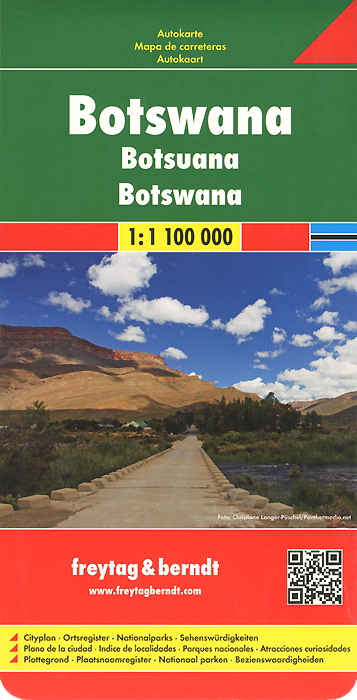
Книга: «Botswana: Road Map»

|
Издание представляет собой автодорожную и туристическую карту Ботсваны (масштаб 1:1 100 000). Включает брошюру с краткими сведениями о крупных городах, указатель населенных пунктов, аэропортов, достопримечательностей и другую полезную информацию для туристов (автосервисы, гостиницы, музеи, пляжи, парки, храмы). Формат карты в развернутом виде: 92 см х 68 см. Издательство: "Freytag&Berndt" (2014) Формат: 130x255, 2 стр.
ISBN: 978-3-7079-1283-8 Купить за 420 руб на Озоне |
Другие книги схожей тематики:
| Автор | Книга | Описание | Год | Цена | Тип книги |
|---|---|---|---|---|---|
| Botswana: Road Map | Издание представляет собой автодорожную и туристическую карту Ботсваны (масштаб 1:1 100 000). Включает брошюру с… — Freytag&, (формат: 130x255, 2 стр.) Подробнее... | 2014 | 1144 | бумажная книга | |
| Botswana 1:1 000 000 | This map appears in the map series world mapping project™ in travel expertise. Characteristic is the high-quality, clear and modern cartographic representation. Contour lines with elevation… — Reise Know-How, Подробнее... | 2013 | 932 | бумажная книга |
См. также в других словарях:
Botswana — /bot swah neuh/, n. a republic in S Africa: formerly a British protectorate; gained independence 1966; member of the Commonwealth of Nations. 1,500,765; 275,000 sq. mi. (712,250 sq. km). Cap.: Gaborone. Formerly, Bechuanaland. * * * Botswana… … Universalium
Mining industry of Botswana — The mineral industry of Botswana has dominated the national economy since the early 1990s. Diamond has been the leading component of the mineral sector since large scale diamond production began 25 years ago. Most of Botswana’s diamond production … Wikipedia
Mineral industry of Botswana — The mineral industry of Botswana has dominated the national economy since the early 1990s. Diamond has been the leading component of the mineral sector since large scale diamond production began 25 years ago. Most of Botswana’s diamond production … Wikipedia
Gaborone — City From top to bottom: skyline view of Gaborone, statue of Seretse Khama, the city centre of Gaborone, bird s eye view of Gaborone … Wikipedia
Transport in Zambia — Railways in Zambia= Total: 2,164 km (1995)Zambia Rail Network Map [http://www.railtracker.org/RailAFFILIATES/Railways/ZR/zrrailnt.htm Railtracker (ACIS/UNCTAD) Zambia Railway Network Diagram] Principal lines* Zambia Railways Limited (ZRL) 1.067 m … Wikipedia
HISTORICAL SURVEY: THE STATE AND ITS ANTECEDENTS (1880–2006) — Introduction It took the new Jewish nation about 70 years to emerge as the State of Israel. The immediate stimulus that initiated the modern return to Zion was the disappointment, in the last quarter of the 19th century, of the expectation that… … Encyclopedia of Judaism
