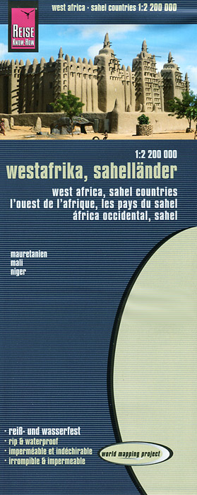
Книга: «West Africa, the Sahel Countries: Map»

|
Серия: "World Mapping Project" Издание представляет собой карту Западной Африки (масштаб 1:2200000) с указателем дорог, населенных пунктов, аэропортов, достопримечательностей, музеев, заправочных станций. Карта сделана из водонепроницаемого, нервущегося материала. Формат в развернутом виде: 100 х 70 см. Издательство: "Reise Know-How" (2013) Формат: 100x245, 2 стр.
ISBN: 978-3-8317-7194-3 Купить за 574 руб на Озоне |
Другие книги схожей тематики:
| Автор | Книга | Описание | Год | Цена | Тип книги |
|---|
См. также в других словарях:
French West Africa — Afrique occidentale française Federation of French colonies ↓ … Wikipedia
Africa — /af ri keuh/, n. 1. a continent S of Europe and between the Atlantic and Indian oceans. 551,000,000; ab. 11,700,000 sq. mi. (30,303,000 sq. km). adj. 2. African. * * * I Second largest continent on Earth. It is bounded by the Mediterranean Sea,… … Universalium
Africa — For other uses, see Africa (disambiguation). Africa Africa Area … Wikipedia
Sub-Saharan Africa — Black Africa redirects here. For the Namibian football team, see Black Africa F.C.. Definition of Sub Saharan Africa as used in the statistics of the UN institutions. However, Sudan and South Sudan is classified as North Africa by the United… … Wikipedia
History of Africa — Pre Colonial African States … Wikipedia
Colonisation of Africa — The colonisation of Africa has a long history, the most famous phase being the European Scramble for Africa during the late 19th and early 20th century. Contents 1 Ancient colonisation 2 Early modern period 3 The Scramble for Africa … Wikipedia
