Книга: «Slovak Republic: Road Map»
|
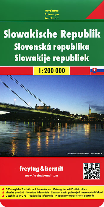
Touristic information: places of interest, religious buildings, castles, palaces, archaeological sites, spas, airports. Масштаб карты: 1:200 000. Размер карты в развернутом виде: 1022 мм х 870 мм. Издательство: "Freytag&Berndt" (2013) Формат: 130x220, 2 стр.
ISBN: 978-3-7079-0471-0 Купить за 574 руб на Озоне |
Другие книги схожей тематики:
| Автор | Книга | Описание | Год | Цена | Тип книги |
|---|
См. также в других словарях:
Slovak–Hungarian War — Warbox|conflict=Slovak Hungarian Border War caption= One of the OA vz. 30 armoured cars captured by the Hungarians in March 1939, guarded by a Hungarian soldier. The retreating crew took the two ZB vz. 26 light machineguns with them. date=March… … Wikipedia
Czech Republic — This article is about the country in Europe. For other uses, see Czech Republic (disambiguation). Czech Republic Česká republika … Wikipedia
Police of the Czech Republic — Policie České republiky Abbreviation PČR Patch of the Policie České republiky. Motto … Wikipedia
Socialist Federal Republic of Yugoslavia — Socijalistička Federativna Republika Jugoslavijaa (sh–lat) Социјалистичка Федеративна Република Југославијаb (sh–cyr) Socialistična federativna republika Jugoslavijac (sl) … Wikipedia
Highways in the Czech Republic — The road sign informing the motorists they are travelling on a dálnice The highways in the Czech Republic are divided into motorways and expressways. These dual carriageways are managed by the state owned Road and Motorway Directorate of the… … Wikipedia
Comparison of web map services — Feature Google Maps Yahoo Maps Bing Maps MapQuest OpenStreetMap Nokia Maps URL maps.google.com maps.yahoo.com maps.bing.com … Wikipedia