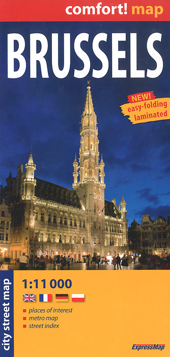
Книга: «Brussels: City Street Map»

|
Серия: "Comfort! Map" Mapas y planos plastificados con un sistema propio, que logra un plegado muy sencillo y rapido. La cartografia que ofrece es muy atractiva y clara, incluyendo una completa toponimia, lugares de interes e indice en los planos. - places of interest; - metro map; - street index. Масштаб: 1:11000. Формат карты в разложенном виде: 100 см х 48 см. Издательство: "ExpressMap" (2010) Формат: 110x230, 2 стр.
ISBN: 978-83-7546-064-3 Купить за 574 руб на Озоне |
Другие книги схожей тематики:
| Автор | Книга | Описание | Год | Цена | Тип книги |
|---|
См. также в других словарях:
North–South connection (Brussels) — Brussels North–South connection Map of the railway (shown in bold black) in relation to the other Brussels railway and metro lines Overview Status Operational … Wikipedia
Bombardment of Brussels — The bombardment of Brussels by French troops of King Louis XIV on August 13, 14 and 15, 1695 and the resulting fire were together the most destructive event in the entire history of Brussels. [Cf. a history of Brussels, for example… … Wikipedia
Cork (city) — This article is about the city in Ireland. For other uses, see Cork (disambiguation). Cork Corcaigh From top, left to right: City Hall, the English Market, Quadrangle in UCC, River Lee … Wikipedia
Railway station layout — A railway station is a place where trains make scheduled stops. Stations usually have one or more platforms constructed alongside a line of railway. However, railway stations come in many different configurations influenced by such factors as the … Wikipedia
List of carillons — For a general overview of musical bell instruments, See Campanology : For the description and history of the carillons listed hereunder, See Carillon Traditional carillons , non traditional carillons , and pseudo carillons ndash; each per… … Wikipedia
Sarajevo — City City of Sarajevo Grad Sarajevo Град Сарајево … Wikipedia
