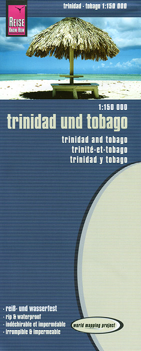
Книга: «Trinidad and Tobago: Map»

|
Серия: "World Mapping Project" Издание представляет собой карту Тринидад и Табаго (масштаб 1:150000) с указателем дорог, населенных пунктов, аэропортов, достопримечательностей, музеев, заправочных станций. Карта сделана из водонепроницаемого, нервущегося материала. Формат в развернутом виде: 100 х 70 см. Издательство: "Reise Know-How" (2013) Формат: 100x245, 2 стр.
ISBN: 978-3-8317-7205-6 Купить за 574 руб на Озоне |
Другие книги схожей тематики:
| Автор | Книга | Описание | Год | Цена | Тип книги |
|---|
См. также в других словарях:
Trinidad and Tobago — Trinidadian and Tobagonian. an independent republic in the West Indies, comprising the islands of Trinidad and Tobago: member of the Commonwealth of Nations. 1,273,141; 1980 sq. mi. (5128 sq. km). Cap.: Port of Spain. * * * Trinidad and Tobago… … Universalium
Geography of Trinidad and Tobago — Map of Trinidad and Tobago Topography of Trindad and Tobago Trinidad and Tobago is an archipelagic republic in the southern Caribbean between the … Wikipedia
Natural history of Trinidad and Tobago — Location of Trinidad and Tobago in the Caribbean Trinidad and Tobago has some of the richest natural communities in the Caribbean. Unlike most of the islands of the Caribbean, Trinidad and Tobago supports a primarily South American flora and… … Wikipedia
Counties of Trinidad and Tobago — Map showing old counties of Trindad Historically, Trinidad was divided into eight counties, and these counties were subdivided into Wards. Tobago was administered as a Ward of County Saint David. Caroni Mayaro Nariva Saint Andrew Saint David… … Wikipedia
Outline of Trinidad and Tobago — … Wikipedia
Nelson Island, Trinidad and Tobago — … Wikipedia
