Книга: «Baltic States. 1:600 000»
|
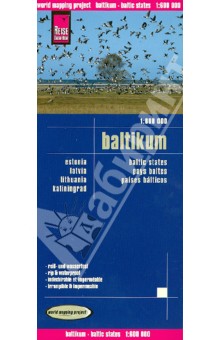
This map appears in the map series world mapping project in travel expertise. Characteristic is the high-quality, clear and modern cartographic representation. Contour lines with elevationColoured elevation levelsClassified road network with distancesPlaces of interestDetailed local indexGPS capability by longitude and latitudeUTM grid Издательство: "Reise Know-How" (2013)
ISBN: 978-3-8317-7107-3 Купить за 630 руб в Лабиринте |
Другие книги схожей тематики:
| Автор | Книга | Описание | Год | Цена | Тип книги |
|---|
См. также в других словарях:
Baltic states — For other uses, see Baltic (disambiguation). Baltic states … Wikipedia
Baltic Way — (also Baltic chain, et. Balti kett, lv. Baltijas ceļš, lt. Baltijos kelias) is the event which occurred on August 23, 1989 when approximately two million people joined their hands to form an over 600 kilometer (373 mi) long human chain across the … Wikipedia
Baltic Sea — For other uses, see Baltic (disambiguation). Baltic Sea Map of the Baltic Sea Location Europe Coordinates … Wikipedia
Baltic Sea Campaigns (1939–1945) — The Baltic Sea Campaigns (1939 45) describes operations of the Axis naval forces in the Baltic Sea and its coastal regions that also included combat operations in the Gulf of Finland during the Second World War, including in support of the land… … Wikipedia
Baltic Airport Schwerin-Parchim — Flughafen Schwerin Parchim … Deutsch Wikipedia
Military history of the United States during World War II — American B 17 Flying Fortresses in flight over Europe … Wikipedia